Software for simulating and analyzing urban scenarios, growth patterns, land use, energy performance, and transportation networks to inform better planning decisions.
Geospatial tools like GIS and environmental impact assessments for mapping, analyzing spatial data, and evaluating the ecological footprint of urban projects.
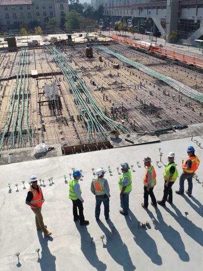
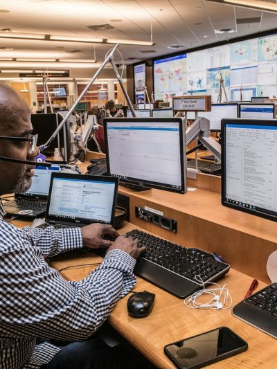
AI-driven technologies for smart city management, IoT integration, real-time data monitoring, and sustainability assessments to create resilient urban environments.
Immersive tools like 3D visualization, virtual reality, and augmented reality for interactive design reviews, stakeholder presentations, and on-site visualization.
Platforms facilitating public participation, stakeholder engagement, and community voice to ensure inclusive and participatory urban planning processes.
Technologies for documenting, archiving, and planning the restoration of historic and cultural sites, ensuring their preservation and integration into modern urban settings.
Advanced tools for creating, visualizing, and optimizing digital representations of urban environments, including BIM, 3D modeling, and automated design generation.